

Robin Lacassin @RobinLacassin@social.cleverlibre.org
- My IPGP page
- http://www.ipgp.fr/~lacassin
- Tectoldies blog
- https://tectoldies.mystrikingly.com/
Geology, tectonics, earthquakes, seismotectonics, hazard epistemology & sci com.
Senior researcher at Institut de Physique du Globe de Paris (IPGP - CNRS - Univ. Paris Cité). Tektonika DOAJ executive editor.
Joined Nov 2022
USGS on twitter: "3 fissures erupted [in Northeast Rift Zone] but as of 1:30 PM, only the lowest of the 3 fissures was active. Estimates of the tallest fountain heights are between 30–60 m, but most are a few meters tall. RT with aerial view 👇🏼
USGS preliminary map of the eruptive activity at Mauna Loa shows the location of three fissures erupting on the Northeast Rift Zone. RT 👇🏼
It's dawn on the Mauna Loa #volcano summit. The USGS webcam captured daylight rising over the caldera filled by the new lava lake. Amazing view.
Updated news on the unrest: https://www.usgs.gov/volcanoes/mauna-loa/volcano-updates
@Blob_Calder Here you have a 24h GIF of the webcam. You can see how it was the day before (yesterday).
https://www.usgs.gov/media/images/last-24-hours-live-panorama-moku-weoweo-caldera-mlcam
Webcam on the rim of Mauna Loa summit caldera shows the lava lake that started filling up few hours ago. Last #eruption at Mauna Loa was in 1984.
#USGS Mauna Loa #volcano webcams: https://www.usgs.gov/volcanoes/mauna-loa/webcams
Updated news on the unrest: https://www.usgs.gov/volcanoes/mauna-loa/volcano-updates
More info on Mauna Loa (USGS webdoc with many maps): https://geonarrative.usgs.gov/maunaloa/
Robin Lacassin
boosted

Well, just woke up to the news that #MaunaLoa is erupting. Looks to be confined to the summit crater, but I’ll have more soon. Be sure to check out the official news from the #USGS Hawaiian Volcano Observatory: https://www.usgs.gov/volcanoes/mauna-loa/volcano-updates
USGS: Mauna Loa #volcano began to erupt at 11:30 PM HST on Sunday night. The #eruption is currently confined to the summit, and there is no indication that magma is moving into either rift zone at this time.
Robin Lacassin
boosted


I'm no Stephen Hawking, but I think what happens is that they cancel each other out.
@Waldemar Here is a comparison of nighttime imagery few weeks before the war in #Ukraine in February, and now. I haven't explore the intrinsic variability not due to the war, but I think the difference is striking. The country is much darker now, towns are barely visible, which is at least partially due to the massive power cuts.
Open the link to play with the slider comparison. https://go.nasa.gov/3H4nn7Z
@Waldemar Fair comment. Will do.
After shelling of energetic infrastructures by Russia #Ukraine appears so dark on the nighttime satellite images. It looks like a desert area, but it is not.
People there are struggling with winter temperatures and war news.
I just learned that I'm working on material science 👇🏼
Our mailboxes are full of such toxic messages - waste of energy. Here a predatory company located in the USA (NJ). How to regulate this ?
Robin Lacassin
boosted

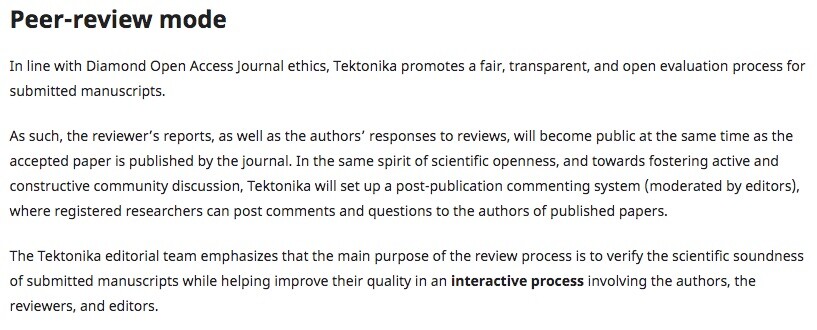
At TEKTONIKA #DOAJ we are open for submission since the end of May 2022.
We currently have 15 manuscripts in the review pipeline on a broad range of subjects. Half of them at revision stage. We hope to publish our first papers soon.
To speed up the publication process and to help the community (yours !), be sure to accept our requests to review manuscripts. You may already register on our web site. https://tektonika.online/
@vickyveritas Here on qoto.org we don’t have this limit (max ~65000). I hope people on other instances can read my posts longer than 500… 🤞
Just received the big #climate book coordinated by Greta Thunberg @gretathunberg
Hours of interesting but frightening reading to come. Thanks in advance to all the authors.
@skanman Just to start I would recommend the books by Susan Hough:
• Predicting the Unpredictable: The Tumultuous Science of Earthquake Prediction
• Earthshaking Science: What We Know (and Don't Know) about Earthquakes
@skanman No. It's a recurrent question when #earthquakes happen grouped in time, but it's purely statistical.
There are between, let's say, 110 and 150 earthquakes with magnitude 6 to 6.9 each year (140 in 2021). In 2022 we got 113 so far, which is totally normal. Note also that no magnitude 8+ happened this year, which is low but also statistically normal.
Media often give the wrong impression of a temporary increase when several earthquakes happen in inhabited areas and are damaging. Media, and even geoscientists, generally do not speak of the numerous magnitude 5+ events (several per day) which is the magnitude of the Java #earthquake few days ago.
In 1999 the North Anatolian Fault (NAF), Turkey, broke during two destructive #earthquakes east of Istanbul (Mw7.4 Izmit and Mw7.2 Düzce earthquakes respectively on 17 Aug and 12 Nov).
Today's Mw6.1 #earthquake happened just east of Düzce with a faulting mechanism very similar to the 12 Nov 1999 event (strike-slip with small normal component). Its epicenter is located little to the north of the main NAF fault trace.
Map with MT and source function from #IPGP #Geoscope http://geoscope.ipgp.fr/index.php/fr/catalogue/description-d-un-seisme?seis=us7000irp8
Other map shows in red the fault broken by the two 1999 events (purple and red stars locate epicenters, yellow circles show aftershocks). From C ̧akir et al. GJI 2003 https://doi.org/10.1046/j.1365-246X.2003.02001.x.
Robin Lacassin
boosted


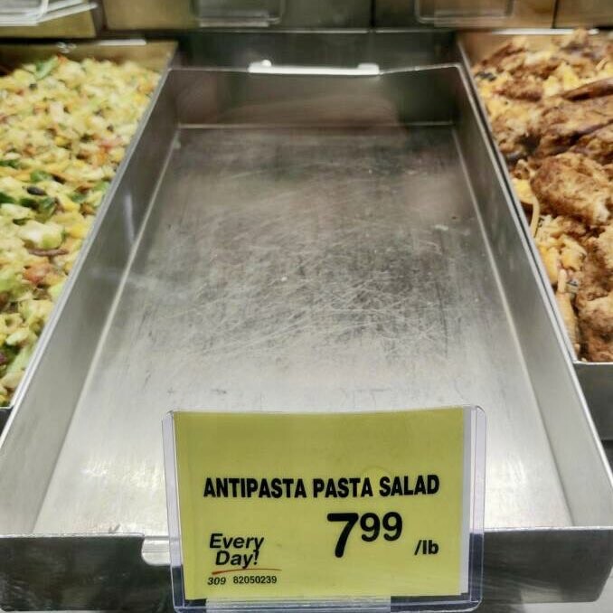




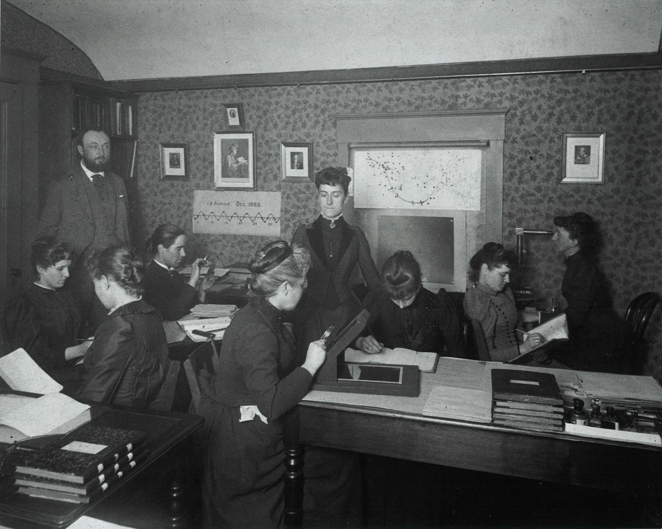
I like to think #JWST will enable scientific discovery akin to the stellar classifications of the Harvard Computers. But for planets. And the women will get fair pay this time.
Over 75 exoplanets will be observed in Cycle 1 alone. Mark Clampin told congress last week that JWST could last 20 years. Perhaps we'll have spectra for >1000 exoplanets by the end. Imagine what we'll learn!
- My IPGP page
- http://www.ipgp.fr/~lacassin
- Tectoldies blog
- https://tectoldies.mystrikingly.com/
Geology, tectonics, earthquakes, seismotectonics, hazard epistemology & sci com.
Senior researcher at Institut de Physique du Globe de Paris (IPGP - CNRS - Univ. Paris Cité). Tektonika DOAJ executive editor.
Joined Nov 2022
