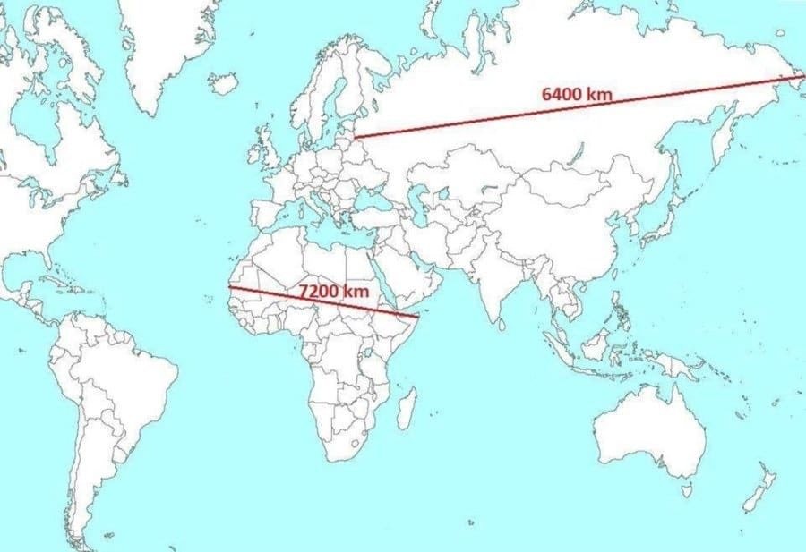
@onlmaps Funny coincidence. I saw your post right after emailing my friends an image of the U.S.A, Germany, Spain, Italy, China, India, and several others, at normalized scale, jigsawed into the outline of Africa. It kind of makes the point nicely.
CleverLibre Social is an inclusive social instance for open discussion, learning, and community.
All cultures welcome.
Hate speech and harassment strictly forbidden.